
Walk an Ada County Street
A street search works best as a chain of dated records. The assessor can identify a parcel and the owner shown for a selected assessment year. It does not prove who occupies the site. The recorder can show parties to a recorded instrument, while directories and voter sources can add dated address evidence. Keep each role separate. Ada County has no single public list of every person at every address.
- Enter the street number and required street name in the Ada County Assessor Property Lookup. Save the parcel, selected year, situs address, legal description, and subdivision.
- Open the same place in the Assessor Interactive Map. Identify the road centerline and adjoining parcel boundaries before opening nearby parcel cards.
- If voter evidence is relevant and lawful, use the state name and birth-date lookup or ask Ada County Elections about a properly scoped list request. Do not infer a vote choice.
- Carry the parcel number, legal description, and instrument clue to the Recorder's Tyler index. Search grantor and grantee spellings separately.
- For a past household, ask Boise Public Library for the closest Hill-Donnelly or city-directory page. The Ada County city directory collections explain the historical shelf in depth.
Write down the source date at every step. An owner on a current parcel card, a deed party from years ago, and a directory subscriber from one printed edition are three different claims.
Ada Street Directory Search Fields
The Ada County Assessor Property Lookup is the best first official screen for a known address. The observed interface offers Address, Parcel, and Subdivision tabs. It does not expose an owner-name field. That design keeps the Ada County street directory focused on places first, then names shown on an opened parcel card.
| Search tab | Fields and format | Best street use |
|---|---|---|
| Address | Optional numeric street number, required street name, year | Find one parcel or scan matching street results |
| Parcel | Parcel number, at least seven characters observed, plus year | Return to an exact parcel across selected years |
| Subdivision | Required partial or full subdivision name | Find parcels when a street spelling fails |
| Property detail | Parcel, year, status, owner, situs, mailing, legal, subdivision, T/R/S | Capture the dated record before moving to deeds or GIS |
The portal's year choices were observed from 2027 through 2000, with detail history at least through 2003. Those interface observations do not establish a complete historical run. Save a no-result screen, then test direction, street type, and subdivision before concluding that no parcel exists.
The official search screen below shows the three tabs and year control. Open the Ada County property search source before comparing the capture with the live form.
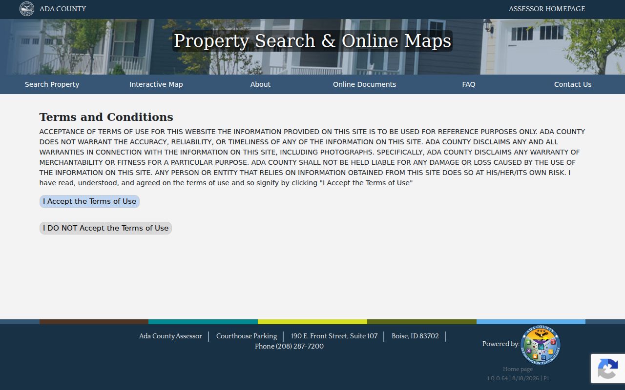
The capture confirms that an address or parcel clue must come before the owner displayed on a result card.
Map Ada Streets and Parcels
The Ada County Assessor Interactive Map adds the geography that a flat result list cannot show. Its tools include Address, Street, Neighborhood, Search Extent, point identification, shape selection, and measurement. Layers include parcels, condos, road centerlines, city limits, county boundary, subdivisions, zoning, mobile homes, surveys, and approximate ZIP codes.
Identify the subject parcel first. Then follow the shared road or lot line and record the parcel IDs that meet the chosen boundary rule. Open each parcel card separately. A nearby polygon is a property relationship, not automatic proof that a named owner is a resident or personal neighbor.
Useful popup fields include PARCEL, PROPYEAR, ADDRESS, directional and unit parts, LEGAL1 through LEGAL5, SUBNM, SECTION, ACRES, and RELATEDPARCELS. Preserve the layer name and year. The ZIPCODES layer is approximate USPS data, so postal claims need an exact USPS check.
Note: A map screenshot without its parcel number, selected layer, and access date is weak evidence for an Ada County street search.
Ada Records Indexed by Address
Several official sources accept an address, parcel, or legal description. Each answers a different question. Use the coverage table to choose the next custodian instead of repeating the same search in unrelated systems.
| Record Set | Keeper | What It Shows | Access |
|---|---|---|---|
| Assessment parcel | Ada County Assessor | Selected-year owner, situs, mailing, legal description, property traits | Free online search; appraiser contact |
| Parcel GIS | Ada County Assessor | Parcel shape, adjacent lots, roads, zoning, city limits | Free interactive viewer and user guide |
| Recorded instruments | Ada County Clerk/Auditor/Recorder | Grantor, grantee, instrument, date, legal description, image when available | Tyler index; counter, phone, or targeted request for gaps |
| Voter records | Idaho SOS and Ada County Elections | Defined public registration fields and dated participation history | Name/DOB lookup or lawful file request |
| Permits | City of Boise or relevant jurisdiction | Record type, status, project, dates, parcel, applicant or owner | Portal, clerk, planning counter, or written request |
A parcel number ties the assessor card to map geometry. Its legal description and instrument clue can lead to recorded deeds. A permit may identify an applicant or contractor who never lived there. The address-record chain becomes reliable only when each name keeps its source role and date.
Ada County's Four Address Grids
Ada County Land Records describes four directional grids radiating from a central point, with numbers increasing outward. Directional prefixes, street types, and units are therefore evidence, not spare text. The county assigns sequential addresses after final plat in its jurisdiction and routes street-name proposals through Land Records.
Land Records handles unincorporated Ada County except the Boise City area of impact and the cities of Eagle, Star, Garden City, and Kuna. Local authority still matters within municipal limits. When an old directory address fails, preserve the printed form, check the official street naming and addressing rules, and compare the Ada address grid map.
- Parcel
- A mapped unit of land identified by the assessor; it may not match one dwelling.
- Situs address
- The physical location assigned to property, distinct from the owner's mailing address.
- Plat
- A recorded map that lays out lots, roads, and boundaries for land.
- Criss-cross directory
- A directory arranged by street and house number so an address can lead to a dated name.
Deeds Along an Ada Street
The Ada County Clerk Records Public Access Web is a guide to recorded instruments, much like a library card catalog. Its disclaimer advises spelling variations and multiple search criteria. The public landing page does not state an exact oldest searchable deed year, so a missing online result is not proof that no deed exists.
Start with parcel and legal-description details, then search grantor and grantee names separately. A grantor transfers an interest; a grantee receives one. Tie any index row to its instrument number, record date, document type, and image when available. Ada County budget material describes a multi-year redigitalization and indexing project for 1864 through 1996, but that does not promise complete online images for every year.
For a gap, contact the Clerk/Auditor/Recorder at 200 W Front Street, Room 1207, Boise, by phone at 208-287-6840, or through a narrow records request. Ask for a stated instrument, party spelling, legal description, and date range. Counter inspection and copy estimates remain important access routes.
Ada Corner Records by Street
The Ada County Corner Record Map help explains a second trail for boundary and road questions. Search by instrument number or Township, Range, and Section, using a form such as 3N2E1 rather than 3N2E01. Map points can expose the recorded date, surveyor, comments, conflict fields, and a scanned PDF.
The help page reported 6,545 records and 6,726 images as of May 2011. It also says the mapped position is approximate and original survey records remain with the County Surveyor. That makes the tool a useful lead, not a substitute for the original.
The source image below shows the search instructions and field context. Review the official corner-record help page for the live wording.
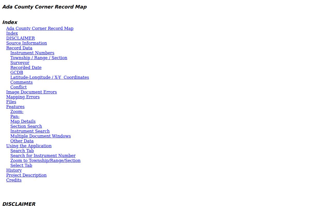
Those fields can explain a boundary or road-location mismatch that a simple house-number search leaves unresolved.
Ada Street Voters and Permits
The Idaho Online Voter Search is a name, date-of-birth, and CAPTCHA workflow. It is not a street-browse directory. Idaho law defines public voter-list fields, but the registration card's ID numbers, birth date, signature, and proof documents are not an open card. Protected addresses must remain protected.
For a lawful county list question, contact Ada County Elections at 400 N Benjamin Lane, Suite 100, Boise, or 208-287-6860. The captured state report order form uses statewide, congressional, or legislative scope, so an Ada-specific request belongs with the county custodian. Save the election date and district version because precinct and city lines change.
Within Boise, the Permitting and Licensing portal can search building, planning, code, fire, license, and public-works records with limited anonymous access. Other municipalities and unincorporated areas have different custodians. A permit contact proves a role in a project, not household occupancy.
Note: More than 300,000 voters and 197 precincts in the county budget describe election scale, not a current count for any street.
Older Ada Street Directory Evidence
Boise Public Library lists Polk city directories from 1891 to current, telephone books from 1948 to current, and Hill-Donnelly cross-reference holdings. Later reverse sections can turn an old house number into the subscriber or household name printed for that edition. The displayed Hill-Donnelly date runs are awkward, so verify the exact volume and call number with staff.
Copies cost $1.25 per page, with a limit of five directory pages per week. Ask for the year closest to the event and one volume on each side. An absent listing can reflect a gap, an unlisted number, initials, a rural-route format, or an address change. It is not proof of vacancy.
For Boise blocks, Sanborn map editions and historic-site files can add building footprints, use, and permit citations. The 1714 N. 11th Street file links a 1912 map, later pasteovers, directory citations, and a 1940 permit. Verify each cited original before using it for family or property history.
Limits of Ada Street Records
No official Ada County street directory shows a complete household. An assessor owner may be a trust, estate, developer, association, lender, or public body. One parcel may cover common space or several units. Mailing and situs addresses may differ. Voter information is limited by law, and Idaho's Address Confidentiality Program supplies substitute addresses to qualifying survivors and household members.
The sample Civic Plaza parcel makes the risk plain: a parcel card can show ADA COUNTY and a common-area legal description at a civic address. That is an institutional parcel, not a private resident result. Mark such records by their actual role.
Lawful use. Use Ada County address records only for lawful personal research. Never use them to stalk, harass, intimidate, or harm anyone.
When the goal changes from a whole street to one named person, use the Ada County resident lookup and require a second dated identifier. Never merge names merely because they share a street or ZIP code.