
Ada County Neighbor Record Layers
A useful Ada County neighbor lookup reports layers, not a blended people roster. The parcel map defines land next to the subject parcel. An assessor card identifies the owner displayed for a selected year. Boise GIS can place an address inside a registered-neighborhood polygon. Election files have their own public-field and protected-address rules. Eagle and Meridian publish organization or program contacts, not household membership. Each result needs its exact label.
| Source | What It Shows About a Block | Access |
|---|---|---|
| Assessor GIS | Parcel polygons, roads, city limits, subdivisions, and approximate ZIP layer | Free interactive map |
| Property Lookup | Selected-year parcel owner, situs, legal description, and characteristics | Free address, parcel, or subdivision search |
| Public voter file | Defined registration fields, subject to request scope and exclusions | Ada Elections or state order route |
| Boise neighborhood GIS | Association polygon and name, not a member roster | Queryable public layer |
| Municipal contacts | HOA networking, watch programs, district maps, and meetings | City web, phone, or public request |
The owner shown on a parcel card may live elsewhere. A renter or family member may leave no public address-keyed record. Common areas can be held by a county or association. For that reason, describe a finding as an “adjacent parcel owner record,” “mapped association,” or “dated directory listing.” Do not turn it into a claim about all Ada County neighbors at the property.
Ada Parcel Cards Need Dates
The Ada County Property Lookup searches by address, parcel, or subdivision. The address search uses a street number, street name, and year. The inspected year menu reached from 2027 through 2000. After a result opens, the card can show parcel, year, status, owner, situs address, legal description, subdivision, tax data, characteristics, and a sketch.
The captured card below is a useful warning. It displays ADA COUNTY as owner of parcel R1425830100 at 200 East Front Street and describes common area in Civic Plaza Condo. That is an institutional parcel, not evidence of a private household.
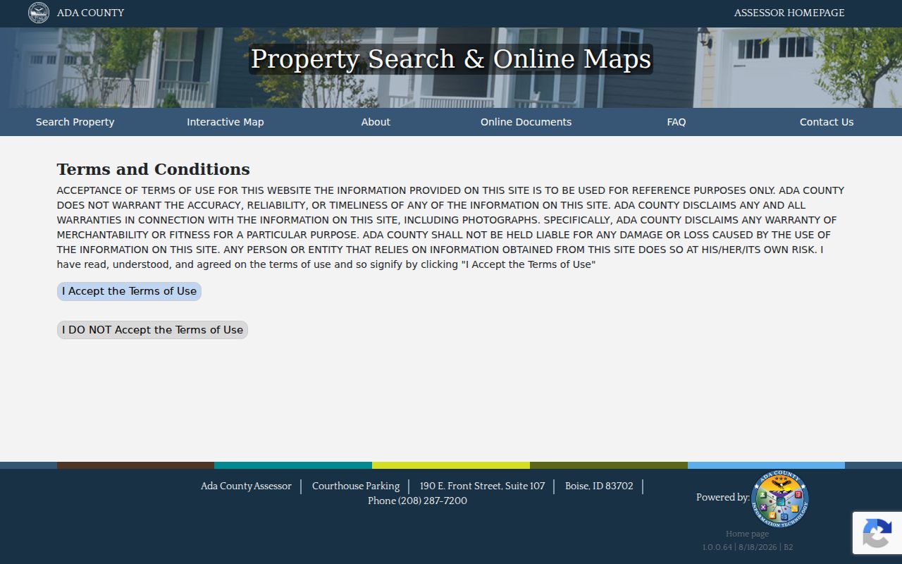
The example shows why parcel type, legal description, and assessment year belong beside any owner name. The Assessor also says its data is reference material and is not warranted as a title record.
Map Ada Neighbors by Parcel
Before searching names, define the unit: parcels sharing a boundary, one plat block, one street segment, a fixed GIS buffer, or a mapped association polygon. The Ada County Assessor Interactive Map includes address, street, neighborhood, search-extent, select, and measure tools. Its layers include parcels, condos, road centerlines, city limits, county boundaries, subdivisions, zoning, and approximate ZIPs.
- Locate the subject address and confirm its parcel number, situs, and legal description.
- Identify polygons that meet the chosen rule. Record direction, shared line or road relation, and each parcel ID.
- Open every parcel card for the same assessment year. Keep mailing and situs values separate.
- Save the layer name and identify details. A map picture alone may omit the parcel number.
- For a full named road rather than the immediate block, use the street-level workflow.
GIS parcel attributes include address parts, legal text, zoning, acreage, section, subdivision, and a home-exemption field. A displayed exemption or matching mailing address may be a useful clue, but it still does not prove who was present on a given day. The Ada County street directory carries the broader street-by-street record chain.
Note: Record direction and parcel ID; “next door” is too vague when a road, condo, or common parcel intervenes.
Boise Neighbor Polygons Change
Boise maintains a registered-neighborhood polygon layer. Its service metadata exposes an association-name field called ASSOCIATIONNAME, an object ID, query and identify support, and update information. The layer can answer whether a parcel falls inside a named association boundary. It cannot identify residents or prove association membership.
The official Boise neighborhood layer metadata is captured below.
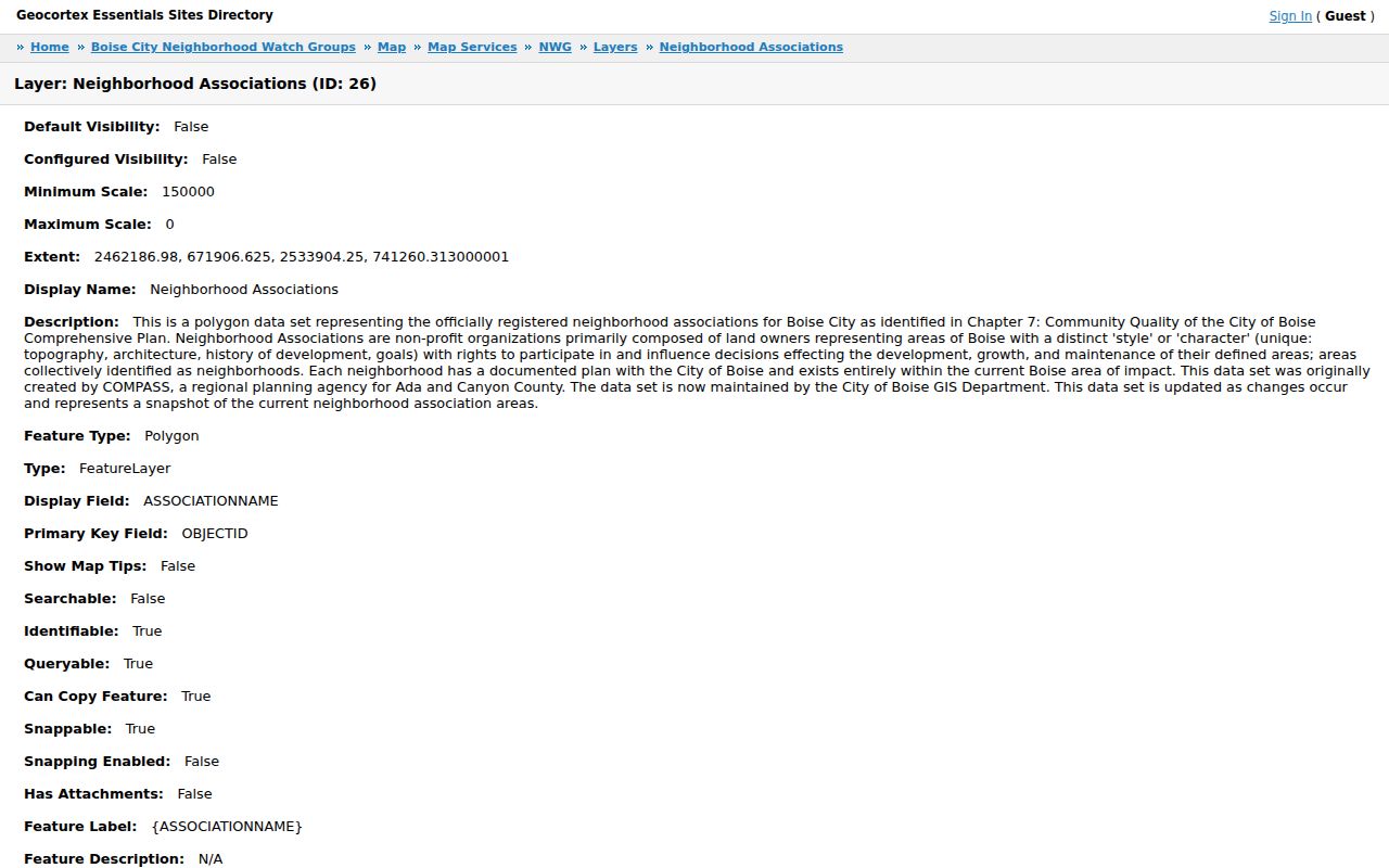
The metadata makes the output clear: it is a named polygon. Pair it with the parcel and map date, then use a current city contact route for the association.
Counts also change. Boise's March 2020 almanac reported 36 registered associations covering about 80 percent of city acreage and 92 percent of the area of impact. A 2016 report listed 33 names, and the later almanac noted inactive examples. Treat each count as dated history. Use the current layer for placement.
Ada Community Contacts, Not Rosters
Outside the Boise polygon system, local programs answer narrower questions. Eagle's HOA Networking Group provides a public coordination and meeting route. It does not publish members. Meridian's Neighborhood Watch offers a safety-program contact, while its council map supplies political geography. Neither one is a resident directory.
The City of Eagle HOA Networking Group page below shows the organization-level contact and schedule approach.
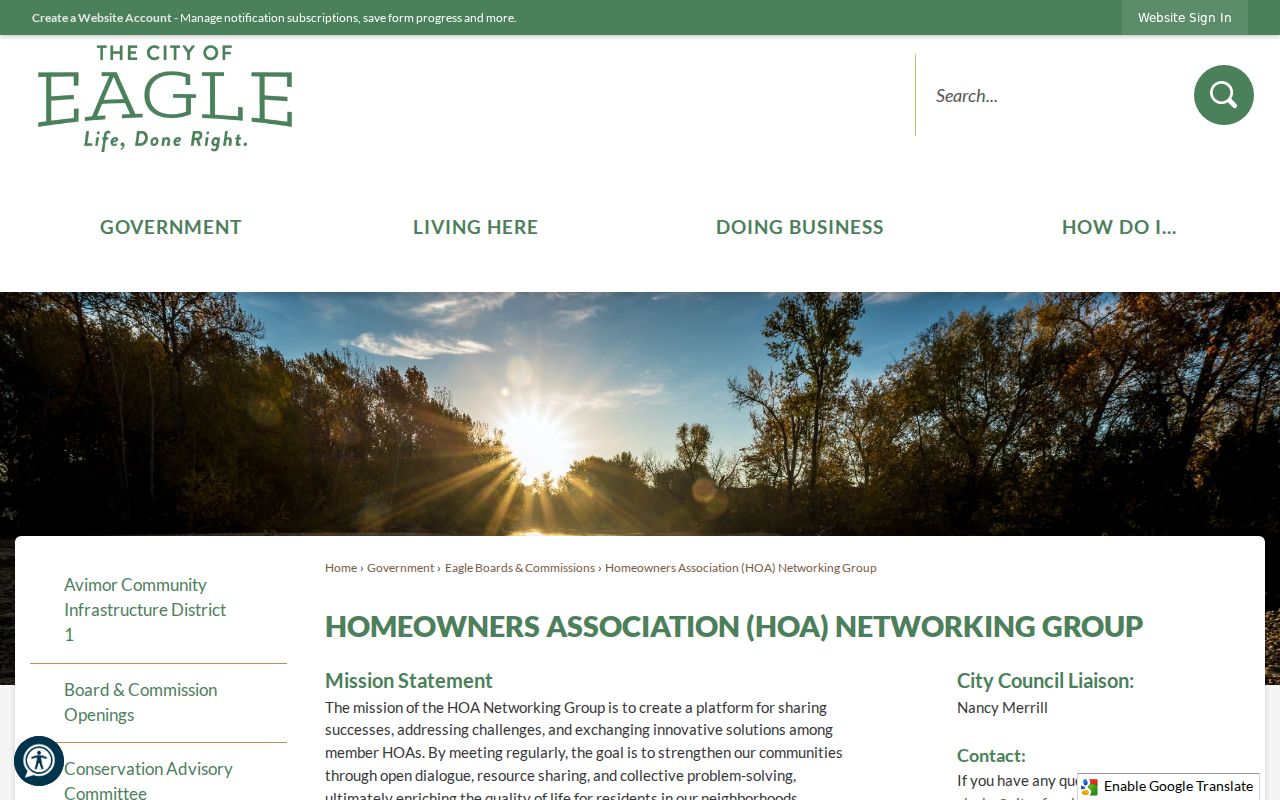
Use that route to ask about a public meeting, map, or organization contact. Do not request or infer a private household roster.
Boise
Use the registered-neighborhood GIS layer for a polygon name, then confirm the current city or association contact.
Eagle
Use the city HOA networking page for organization and meeting information, not member names.
Meridian
Use Neighborhood Watch for a program contact and the council map only for district context.
Ada Block Voter Boundaries
Idaho's public voter-list rules define fields such as name, street and mailing address, county, age rather than birth date, optional phone, declared party affiliation, and participation history. They do not reveal vote choices. The official voter lookup is a name, date-of-birth, and CAPTCHA workflow, not an open block browser.
For a lawful county list question, contact Ada County Elections at 400 North Benjamin Lane, Suite 100, Boise, or 208-287-6860. Idaho Address Confidentiality Program records and other protected addresses are omitted or substituted as required. A missing voter record does not show that a home is empty. It may reflect nonregistration, a move, timing, or legal protection.
Precincts, legislative districts, cities, ZIPs, neighborhoods, and parcels are separate boundaries. Save the election year and boundary version. Participation history may say that a person took part, but never how the person voted.
Official Ada Neighbor Records
Commercial neighbor-search products may merge filings, marketing histories, directory data, and licensed material. Their inferred relationship can be stale or based on a wide radius. Official sources are narrower, yet they show the source, role, custodian, and date needed for a careful block record.
| Approach | Useful Output | Main Limit |
|---|---|---|
| Official parcel and GIS | Defined polygons and selected-year owner record | Not a household list |
| City association layer | Mapped organization name and boundary | Not membership proof |
| Commercial category | Possible lead for later verification | Stale, merged, inferred, or paywalled data |
Ada Neighbor Privacy Limits
Public block research does not disclose unnamed household members, unlisted occupants, utility subscribers, delivery information, school attendance, private phone data, sealed or juvenile court material, or unpublicized HOA membership. Idaho's Address Confidentiality Program supplies substitute mailing and mail-forwarding protection for qualifying survivors and household members. A search failure, missing street address, or post office box must never be “completed” from another record to defeat that protection.
Keep a narrow source log: subject parcel, neighboring parcel ID, direction, selected year, map layer, public purpose, source link, and access date. Record protected or irrelevant details as omitted. Idaho Public Records Act access does not erase use restrictions, and Idaho Code limits certain mailing and telephone list uses.
Lawful use. Ada County neighbor records are for civic curiosity, reconnecting, and personal safety awareness. Never use them to watch, intimidate, stalk, or harass a person.
Note: When layers disagree, preserve the mismatch; postal city, municipal boundary, ZIP, precinct, and neighborhood are not interchangeable.